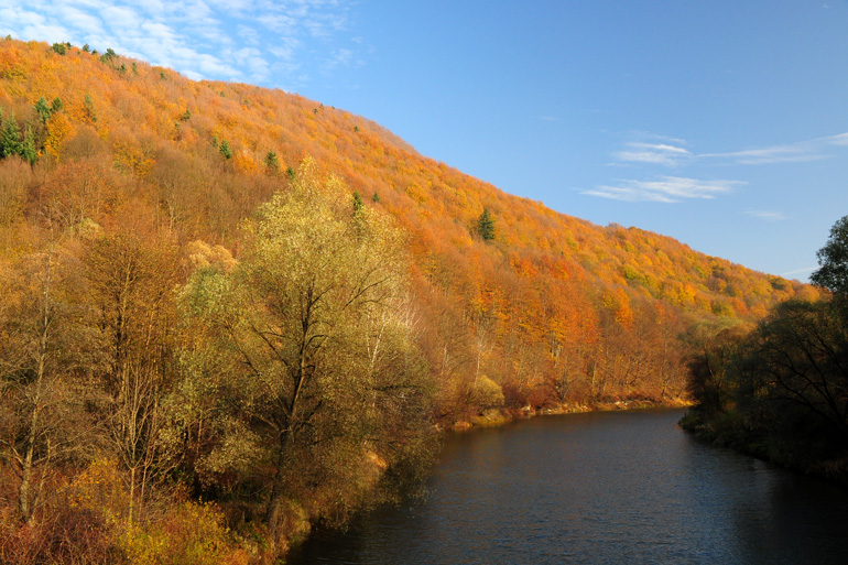
The San
The San is a large and wide (typically 50-100 m wide) river, located in the south - eastern Poland. Its springs are located on the Ukrainian side of the border in the Bieszczady mountains. On the stretch of approx. 55 kilometers, the San forms the border between Poland and Ukraine, and further flows only on Polish territory. The said Bieszczady mountains are one of the last wild and sparsely populated places in Europe, but safe and hospitable to tourists.

The total length of the San is 443.4 kilometers. On the stretch from the source to the city of Przemyśl, the San is a mountain river. Then it is a lowland river. It ends its course in the area of Sandomierz, where the San flows into the Vistula. Throughout its course, the San has numerous twists, bends and sandbanks. Its shores are alternately exposed or covered by forest. The bottom is rocky in the upper reaches, with numerous natural rock rapids, then becomes sandy and loamy.
Two artificial dam lakes: Solina and Myczkowskie, were built on the river. The dams regulate the flow of water, so the fluctuation of the river’s level can sometimes be high.
The fish stocks of the San is formed in the upper reaches of trout, grayling, Danube salmon, chub, dace, nase, barbell, loach and minnow. The lower reaches are dominated by such fish as: asp, barbel, chub, nase. The river is wholly managed by the Polish Angling Association. The San is available for fishing throughout almost all its course. Licenses are required, and separate regulations prevail on the 9-kilometer special stretch.
